
Schererville Neighbor Records by Block
No official portal publishes a ready-made roster of Schererville neighbors. Lake County systems instead expose parcel facts one property at a time. The right source depends on whether the question concerns a lot line, deeded owner, mail destination, subdivision, voting status, or association record.
| Source | What it shows about a block | Access |
|---|---|---|
| Lake County GIS | Adjacent parcels, situs, municipality, legal description, owner field | Free map and parcel service |
| Assessor Engage | Current property card, owner history, values, sales, map link | Free owner/address/PIN search |
| Recorder | Plats, deeds, easements, releases, and other instruments | Free account; paid images and official copies |
| Town records | Projects, minutes, planning, watch, and jurisdiction context | Document center or APRA request |
| Associations | Public declarations and civic references | Public papers only; rosters may be gated |
The owner field describes deeded ownership, not present occupancy. A mailing address can point elsewhere. Even two parcels touching on the map may involve common land, drainage, a utility strip, a commercial parcel, or another unit of government.
Map Schererville Neighbors Parcel by Parcel
The Lake County GIS web map supports adjacent-lot work through geometry and selectable parcel features. Its inspected place finder was disabled, so begin with Engage or the parcel service when the exact map search does not respond.
- Search the subject address or PIN in Lake County Assessor Engage.
- Open its map, select the subject polygon, and record only the PIN, situs, municipality, and legal description needed.
- Click each touching polygon separately. Do not infer a neighbor from the order of house numbers.
- Compare the subdivision and cadastral layers. A cadastral line is a mapped parcel line, not a certified survey.
- Use the popup links to check the Assessor, Recorder, or Treasurer for that one parcel.
The process is address to parcel, parcel to adjacent geometry, adjacent parcel to public owner field, then deed or plat if legal proof is needed. The map is for orientation and says it is not a survey.
Separate Schererville Neighbor Address Fields
Lake County parcel data separates deeded owner, situs address, owner mailing address, municipality, legal description, and ZIP. Those are distinct facts. An inspected parcel at 6916 Tompkins Court has Schererville as its situs and municipality with ZIP 46375, yet the mailing city and ZIP are Griffith 46319. That does not move the parcel or show where the owner sleeps.
- Situs address
- The physical address assigned to the parcel.
- Mailing address
- The destination for owner or tax correspondence.
- Legal description
- The lot, subdivision, or land wording tied to the deed record.
- Parcel ID
- The county number used to connect map, assessment, tax, and deed sources.
For your Schererville neighbors, the safest wording reports the public field exactly: “deeded owner,” “situs,” or “mailing address.” It does not convert those labels into a claim about a current resident.
Note: Compare the parcel municipality with USPS and town records whenever a block approaches a postal, township, or annexation line.
Schererville Neighborhood Associations in Public Records
Three named groups appear in the inspected local record. Briar Ridge Property Owners Association maintains public declaration scans. Town minutes mention Springvale Home Owner's Association in Solid Waste Fund distributions and Oak Manor HOA in a resident issue. These references prove that a group appears in a dated public source, not that every nearby owner is a member.
| Local group | Public evidence | Privacy boundary |
|---|---|---|
| Briar Ridge POA | Recorded declaration scans from 1981 or 1987 | Member directory and forums require access |
| Springvale HOA | Named in 2025 town fund-distribution minutes | No open member roster found |
| Oak Manor HOA | Named in official town minutes | No open member roster found |
The Briar Ridge public declarations page is a sound source for recorded association terms.
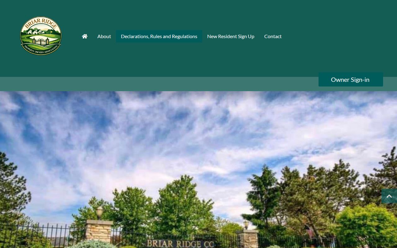
The screenshot shows the public document boundary. The separate community area asks users to establish membership and may require proof of residency, so it must not be scraped or reproduced.
Schererville Neighbor Projects and Places
Town notices can explain why a block changed without identifying households. Public Works records, project notices, planning documents, and the town document center can anchor street work, utilities, or civic questions by date. When no public index exists, the Schererville APRA form accepts a precise description, department, address or PIN, date range, and a choice to inspect or receive copies.
The Schererville notices and projects search provides the public starting point.
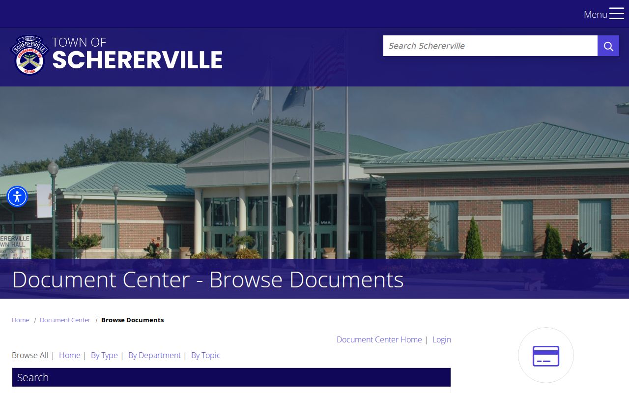
A dated notice can establish when work affected a street. It should not be stretched into a claim about a private person.
The Schererville facilities map covers public offices and parks rather than parcels.
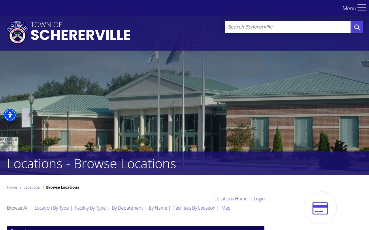
Use that view for civic landmarks and service contacts. For lot-level work, return to Lake County GIS.
Date Schererville Blocks With Aerials
The county map includes historical aerial layers for 1978, 1980, 1998, 2005, 2008, 2013, and 2018, plus 2023 imagery and building footprints. A layer can show when a road, structure, subdivision, or open tract appeared. It cannot identify an occupant.
Subdivision and cadastral layers add needed context. A common area may touch several homes, and a part-lot description may not match a simple house-number sequence. Confirm legal questions with a recorded plat or deed. Historical imagery helps date physical change, while the Recorder supplies the instrument and the Assessor supplies the current property card.
A Schererville Boundary Surprise
Official town minutes identify St. John Township Cemetery, east of the Halls of St George on Joliet Street, as lying inside Schererville boundaries while remaining township-owned. It is a sharp example of why map location and record custody are not the same.
A parcel or facility can sit inside town yet belong to a township or other body. For Schererville neighbors near such land, check the GIS municipality and parcel owner, then find the office that actually keeps the minutes or maintenance record. Do not assume the town holds every file simply because the site is inside its boundary.
Official Schererville Neighbor Sources
Official records and commercial neighbor tools serve different roles. County and town sources identify the custodian, field meaning, and update context. Commercial compilations may blend old directories, public records, and other data without showing which date or field supports a claim.
| Question | Official source | Commercial compilation risk |
|---|---|---|
| Which lot touches this one? | County GIS geometry | Map basis may be hidden |
| Who is the deeded owner? | Assessor, then Recorder | Owner may be labeled as resident |
| What is the postal address? | USPS exact-address tool | Old or merged address |
| Is a group public? | Recorded papers and town minutes | Private roster may be implied |
A source-first search is easier to correct. It also makes clear when the answer is unavailable.
Schererville Neighbors and Voter Records
Indiana Voters asks for exact first and last name, date of birth, and county to check personal registration, polling place, and ballot navigation. It is not a public block browser and does not show how anyone voted. Full voter information follows statutory controls and Lake County's VRG-24 process. Commercial solicitation from voter data is prohibited.
The county need not create a report that does not exist. Confidential items include Address Confidentiality Program participants and certain identifying fields. A portal no-match may also reflect list maintenance rather than proving that a person never registered.
Protect Private Schererville Neighbors
Public access does not authorize a targeted household roster. Keep private phone numbers, gated association data, protected addresses, and inferred occupants out of the search. Use the smallest set of parcel facts needed for a lawful purpose such as understanding a plat, checking a civic project, or studying neighborhood history.
The Indiana Address Confidentiality Program gives eligible survivors a substitute address for specified public interactions.

A suppressed or substitute address is a stop sign. Never infer the hidden location through voter, parcel, tax, or association links.
Use Schererville neighbor records only for lawful personal research. Never stalk, harass, threaten, or expose protected information.
The Indiana Consumer Data Protection Act gives rights against covered private data controllers, but it does not erase county deeds, tax records, court files, or retention-based town records. Ask the source custodian to correct an official field and the private controller to correct its compilation.