
Schererville ZIP Coverage Explained
Schererville's primary postal association is 46375. That is the code found in the county's clean parcel example for a Schererville situs, meaning the physical tax location. Nearby codes appear in statistical overlays and mailing fields, but they do not become Schererville service codes for every address. This distinction is the base of a useful Schererville ZIP code directory.
| ZIP | Local role | Best check | Important limit |
|---|---|---|---|
| 46375 | Primary Schererville postal association | USPS exact-address lookup | Verify each address |
| 46319 | Griffith mailing ZIP in an inspected Schererville parcel | GIS mailing field and USPS | Does not relocate the parcel |
| 46307, 46311, 46373, 46410 | Nearby labels in Census geography | Census, then USPS | Not Schererville postal claims |
The Census QuickFacts profile for Schererville gives town scale, not a household roll or route list. It reports 29,646 people in 2020, a July 2025 estimate of 29,825, and 15.0 square miles.
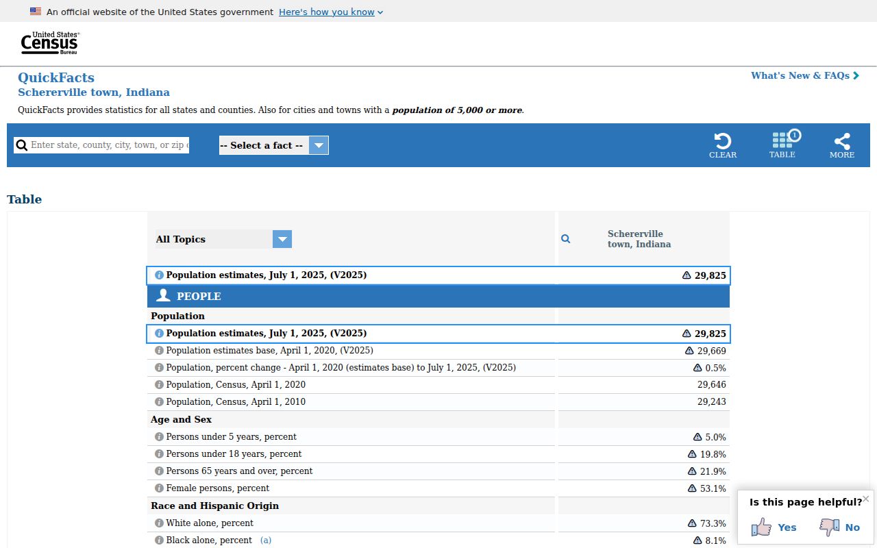
The profile helps with townwide context. It cannot assign a ZIP to one home.
Verify Schererville ZIP Addresses
The official postal route offers three searches. By Address accepts a street, city, state, and optional ZIP. By City and State returns postal context. Cities by ZIP starts with a code. A result standardizes mail, but USPS warns that it does not confirm a person, company, or location.
The USPS ZIP basics explanation makes the key boundary point: postal lines do not have to follow town limits.
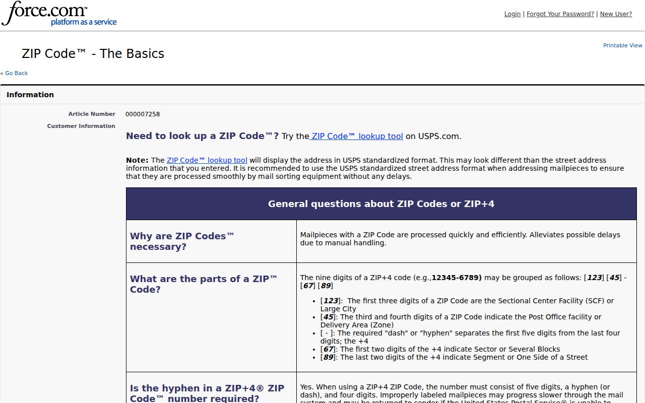
Pair that postal result with the county municipality field before calling an address part of Schererville.
| USPS mode | Inputs | Use |
|---|---|---|
| By Address | Street, city, state; ZIP optional | Validate one delivery address |
| By City and State | City and state required | Find associated codes |
| Cities by ZIP | ZIP required | Check postal-city wording |
For monthly address-quality material, the USPS AIS Viewer covers city/state, street, ZIP, and ZIP+4 records.
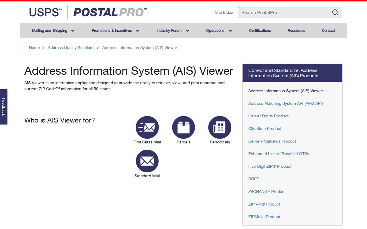
AIS strengthens a delivery check, while county GIS supplies parcel and town context.
Find Schererville Residents by ZIP
A ZIP code directory narrows geography, but it does not produce a verified list of occupants. Lake County Assessor basic search has one Owner, Address, or Property Number box, not a ZIP filter. Its advanced form also lacks a visible ZIP selector. Lake County GIS is more useful after an address match because it stores physical and mailing ZIP values separately.
- Check the full address with the USPS ZIP Lookup. Save the standardized city and ZIP.
- Search the street or parcel in Lake County Assessor Engage. Confirm the result city and open Detail or Map.
- Compare situs ZIP, mailing ZIP, and municipality in the Lake County parcel service.
- For a whole named street, follow the Schererville street directory method one parcel at a time.
Indiana Voters uses exact first name, last name, birth date, and county. It verifies personal registration and polling details, not ZIP-wide residents. Broader voter data follows the controlled VRG-24 request process.
Schererville Situs and Mailing ZIPs
An inspected county parcel shows the difference. The property at 6916 Tompkins Court has a Schererville situs and 46375 physical ZIP, while the owner's mailing city and ZIP are Griffith 46319. Its municipality field still says Schererville. A tax mail destination may belong to an owner, estate, office, or other contact route. It cannot prove occupancy.
- Situs ZIP
- The code attached to the physical parcel location.
- Mailing ZIP
- The code used for owner or tax correspondence.
- Municipality
- The incorporated town field, separate from postal naming.
For Schererville residents, name both the field and source date. Say “county situs ZIP” or “owner mailing ZIP” instead of merging two distinct values.
Note: A mailing address can route contact, but it is never proof that the named owner lives at the parcel.
Schererville ZIPs Are Not ZCTAs
A Census ZIP Code Tabulation Area, called a ZCTA, is a statistical approximation. It publishes data in ZIP-like shapes but does not run mail. Schererville intersects or is associated with several nearby ZCTA labels. That is why a map may show more codes than an exact postal search.
Does an overlapping ZCTA show where a Schererville resident receives mail? No. Use it for statistics. An exact address needs USPS, while the physical town belongs in county and town records.
The Schererville ZIP code directory treats 46307, 46311, 46319, 46373, and 46410 as nearby statistical or documented mailing context until a specific address is checked. It does not claim six service ZIPs for Schererville.
Schererville ZIP and Town Limits
Postal, municipal, township, and utility lines can change on different schedules. Schererville Plan Commission material records a southern tract annexed in 2018. Later records identify Ordinance 1963 for contiguous land at 11245 W 80th Court and note utility implications. Dated actions matter more than a city label in an address.
The county map's parcel, municipal, subdivision, address-point, and township layers place an address. Yet the map says it is not a survey. For a legal boundary, use the ordinance, plat or deed. For delivery, use USPS. Each custodian answers a different question.
ZIP labels route mail. They do not set Schererville's legal boundary or prove that any person occupies an address.
Schererville ZIP Records Through Time
Schererville history ties Joliet Street to the original Lincoln Highway. Older directories may use Joliet, Lincoln Highway, a rural route, or a regional phone exchange instead of today's address. No authoritative public renumbering table was found. Bridge an old label with a directory key, recorded plat, town map, or Planning and Building record.
Do not add a current ZIP to a 1959 entry without support. Preserve the old wording, then compare street number, block, subdivision, parcel geometry, and dated maps. That keeps modern postal geography from distorting an older source.
Read Schererville ZIP Terms
Several labels sound alike but answer different questions. Clear terms keep a broad search from becoming a false address claim.
- ZIP code
- A five-digit USPS delivery code.
- ZIP+4
- A precise delivery segment added to a ZIP.
- PO-box ZIP
- A code used for box delivery rather than a mapped household area.
- Unique ZIP
- A code assigned to one high-volume organization.
- Carrier route
- A delivery path, not a town or parcel boundary.
No separate PO-box-only or unique ZIP for Schererville was established in the research. These terms explain the model, not local categories.
Document a Schererville ZIP Lookup
A sound ZIP code directory entry records the full address, source, date, and geography type. Keep USPS standardized address, county situs, county mailing, Census ZCTA, and historical wording in separate fields. The audit trail lets another researcher repeat the work.
- Use USPS for delivery.
- Use GIS for parcel and municipality.
- Use the Assessor for the property card.
- Use Census for statistics only.
- Keep old directory wording until verified.
Dates matter as much as labels. Engage says its summary information is updated monthly, while its property-record-card PDFs follow an annual cycle. The GIS metadata had a more recent inspection date, and USPS AIS is a monthly address-quality source. Two official screens can therefore describe the same Schererville address from different update points without either one serving as proof of current occupancy. Save the access date with each field and recheck a disputed value at its source.
The Treasurer also accepts Mailing Address and Location routes, with broader searches produced by entering less text. That can help find a tax account after USPS confirms the spelling, but the result still needs the GIS situs and municipality check. Business and professional-license databases also carry ZIP fields for their own records. Their entity or listed professional addresses do not turn them into resident lists. A ZIP code directory remains strongest when it uses only the portal designed for the question.
If no portal resolves the point, ask the proper custodian. Town planning files fall under the Indiana Access to Public Records Act, while USPS and Lake County remain authoritative for their systems.